The challenge
Goodman sought to make their global property portfolio more easily accessible to their two key user groups. Firstly, their internal facing stakeholders, including Goodman commercial property managers required an optimised tool to promote industrial property they owned, and space they wanted to lease or sell. Secondly, the tool needed to be more accessible for external facing audiences including investors and businesses with large commercial space requirements searching for suitable leasing space worldwide, down to businesses looking for single space leasing for a single office.


Their existing global property portfolio was developed on top of the Google Maps platform, which had offered only limited functionality for Goodman and their internal and external stakeholders. Goodman required a new tool that delivered greater value and bolstered their brand as a leading property and logistics manager.

The solution
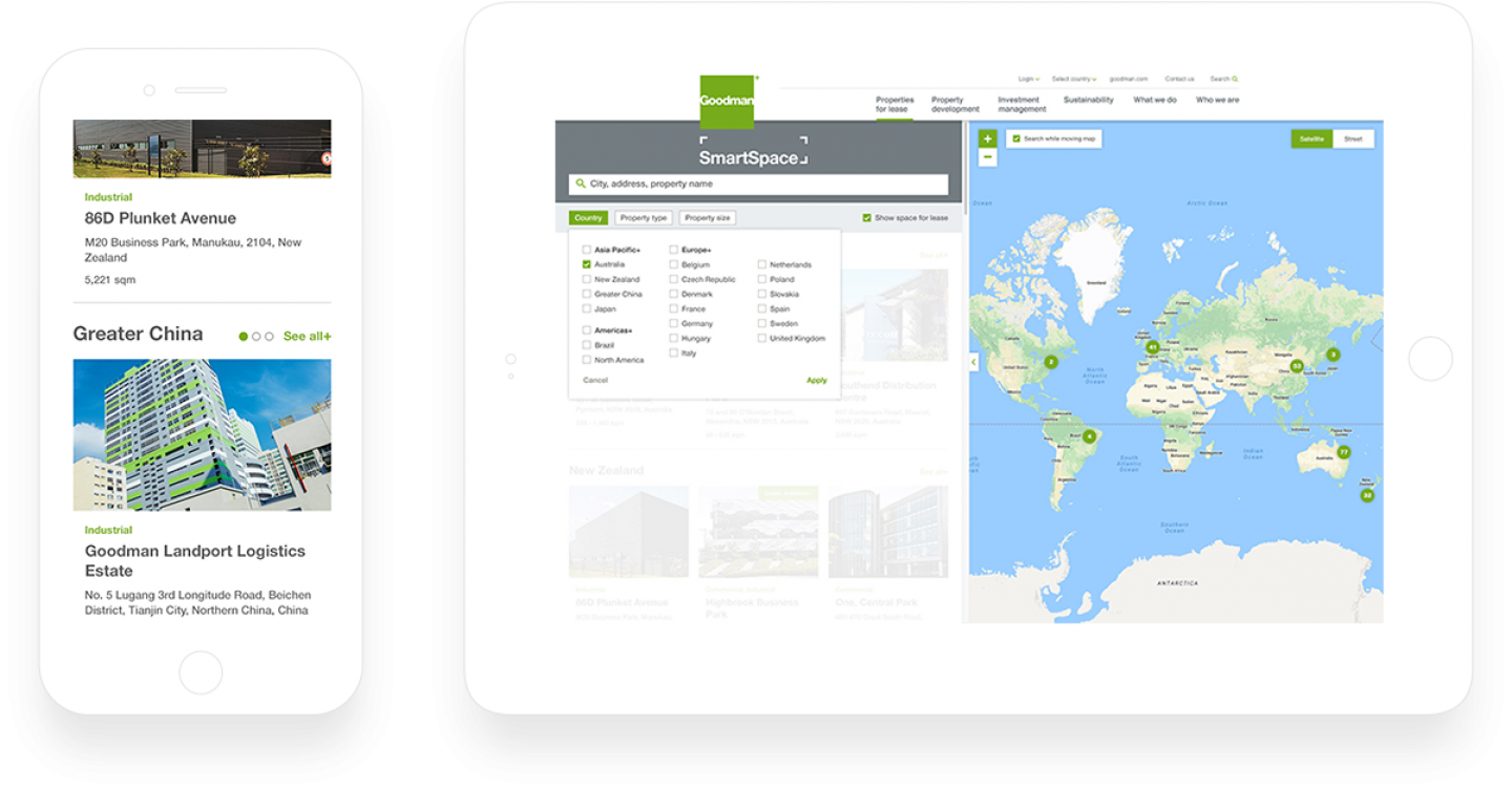
Working in close collaboration with key stakeholders from Goodman and Esri, we redeveloped and enhanced their global property portfolio tool to provide an interactive and insightful virtual tour of Goodman’s properties, to educate investors and customers across any device. Kicking off the project, JSAcreative ran an extensive discovery workshop using high-fidelity wireframes and user journeys to demonstrate how external and internal users would use Smartspace. From this, we discovered that responsive design was an absolute must, with cards and mapping functionality playing a key role on mobile. While external customers would generally present on large screens including projectors, internal customers would need a fully functional tool they could use reliably on small screen mobiles and tablets, and as such, the tool needed to work for both groups.
With a clear idea of functional requirements in place, when it came to design, JSA worked with another agency who was redesigning the corporate site, utilising this design approach and translating it seamlessly into the look and feel for Smartspace.

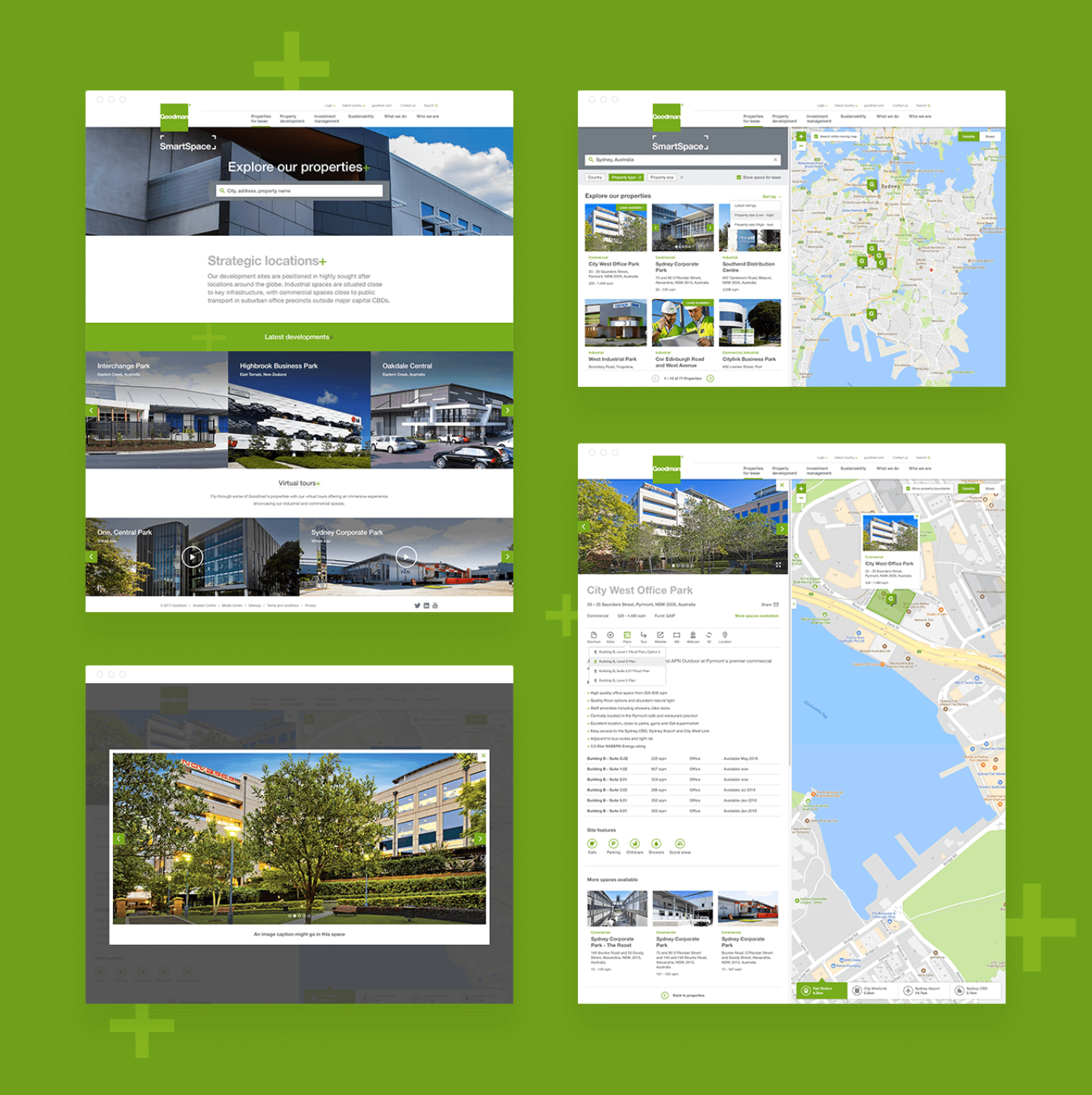
After completing a competitor analysis for similar tools, and with the Goodman business goals in mind, we designed a clean, functional interface which balances the integrity and timeless design of Goodman, with a modern approach to geographic information systems design.
From a development standpoint, to replace the multitude of static maps previously used by Goodman, our development team worked closely with Esri Sydney on the integration of their cloud-based mapping platform, ArcGIS. The result was a bespoke web application built upon the Esri map and GIS datastore, which allowed for the incorporation of data layers including cadastral boundaries, train lines, major motorways, major roads, Local Government Areas and proposed growth areas, furthering the application opportunities for all stakeholders.

The property search looks fantastic and really positions us ahead of our market. The launch went well and we have received lots of positive feedback so far. Our staff are very engaged and enthusiastic about the capabilities of the platform. We are looking forward to seeing the adoption throughout our business